Virginia Roads
A collection of information and personal research
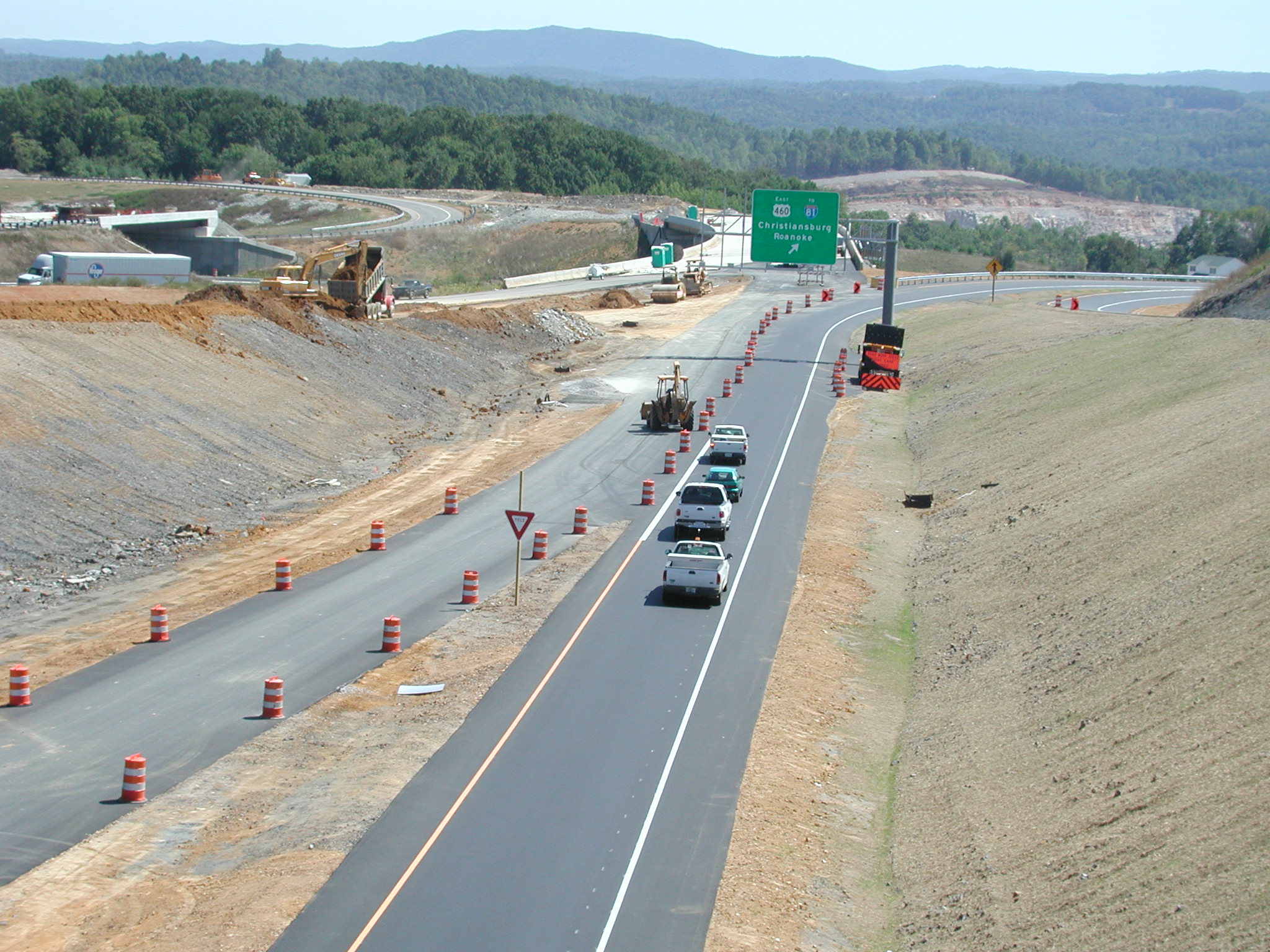
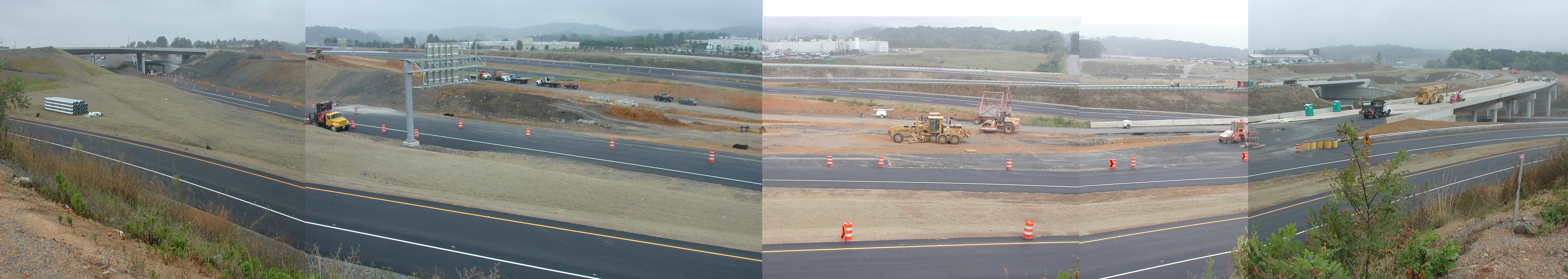
U.S. 460 Bypass Construction
Photos taken on August 27 of the project in and around Blacksburg and Christiansburg. Click on an image for a large image.
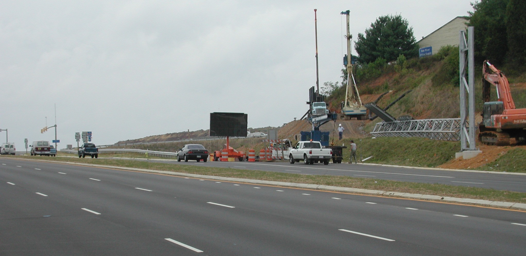 Blacksburg -- Looking south on South Main Street toward the bypass interchange. The Main Street to U.S. 460 Bypass East ramp is where the VMS and barrels are arranged. The ramp uses a tunnel beneath Industrial Park Drive and the eastbound and westbound lanes of the bypass. |
 Blacksburg -- Looking northwest toward the South Main overpass across the bypass. The roadway in the foreground is the U.S. 460 Business West to U.S. 460 Bypass East ramp. The large bridge in the background is South Main Street. Seen under the bridge at the left is the U.S. 460 Business West to U.S. 460 Bypass West ramp. The next roadway to the right is the Ramble Road to U.S. 460 Bypass East ramp (currently the Main Street access to the bypass). The ramp that crosses the overpass under the bridge will tie in with the ramp from Main Street to reach the Smart Road. The overpass crosses the South Main Street to U.S. 460 Bypass East ramp, which has just exited the tunnel just beyond the overpass. The embankment above these ramps is the Smart Road connection from Main Street. |
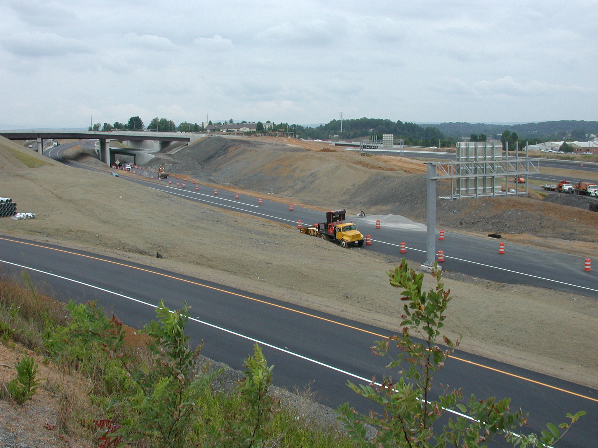
 Blacksburg -- looking north toward the Blacksburg exit. The bridge in the foreground crosses Yellow Sulphur Road. The exit ramp in the distance passes under the westbound connection lane of the Smart Road, then splits. The left ramp passes under Industrial Park Drive and merges with South Main Street. The right ramp ends at Industrial Park Drive; a left turn, then another left turn on South Main Street reaches U.S. 460 Business East. |
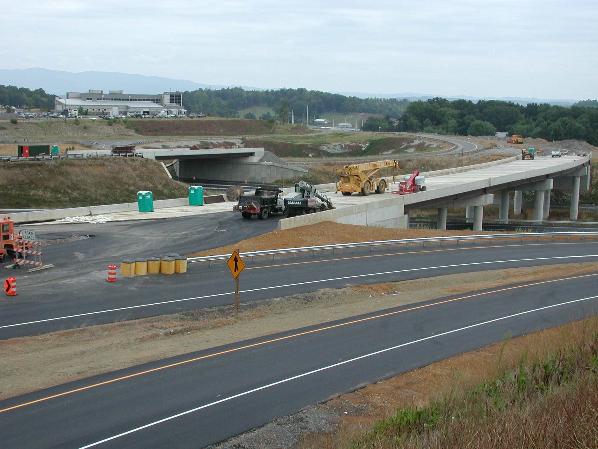 Blacksburg -- Looking east toward the Smart Road control center, about 90 degrees from the above photo. The lane in the foreground is the U.S. 460 Business West to U.S. 460 Bypass East ramp, the next lane is the Ramble Road to U.S. 460 Bypass East ramp; these merge just around the bend, out of the photo to the right. The bridge with the construction equipment on it is the eastbound connection to the Smart Road. The bridge crosses the bypass and the exit ramp for South Main Street. The bridge in the distance carries the westbound connection lanes over the exit ramp to South Main Street and to Industrial Park Drive. |
 Blacksburg -- Looking east toward the Smart Road from the South Main Street overpass. The line of traffic is on the ramp from Ramble Road. The backhoe has just crossed to the ramp from South Main Street southbound to U.S. 460 Bypass East; the ramp that runs through the tunnel. The graded area just to the left of this ramp is the ramp from Ramble Road to the Smart Road. The abundance of ramps is to avoid having traffic cross several lanes to get from one road to another. The Smart Road ramps merge with another ramp at the bridge in the distance (and this ramp is a merger of two lanes, one from South Main Street northbound [on the embankment with the power shovel and dump truck] and one from the bypass eastbound). |
Blacksburg -- A quick and dirty stitch-job to show the connections between South Main Street, the Bypass, and
the Smart Road. The overpass in the background is South Main Street; the picture above was taken from
there.
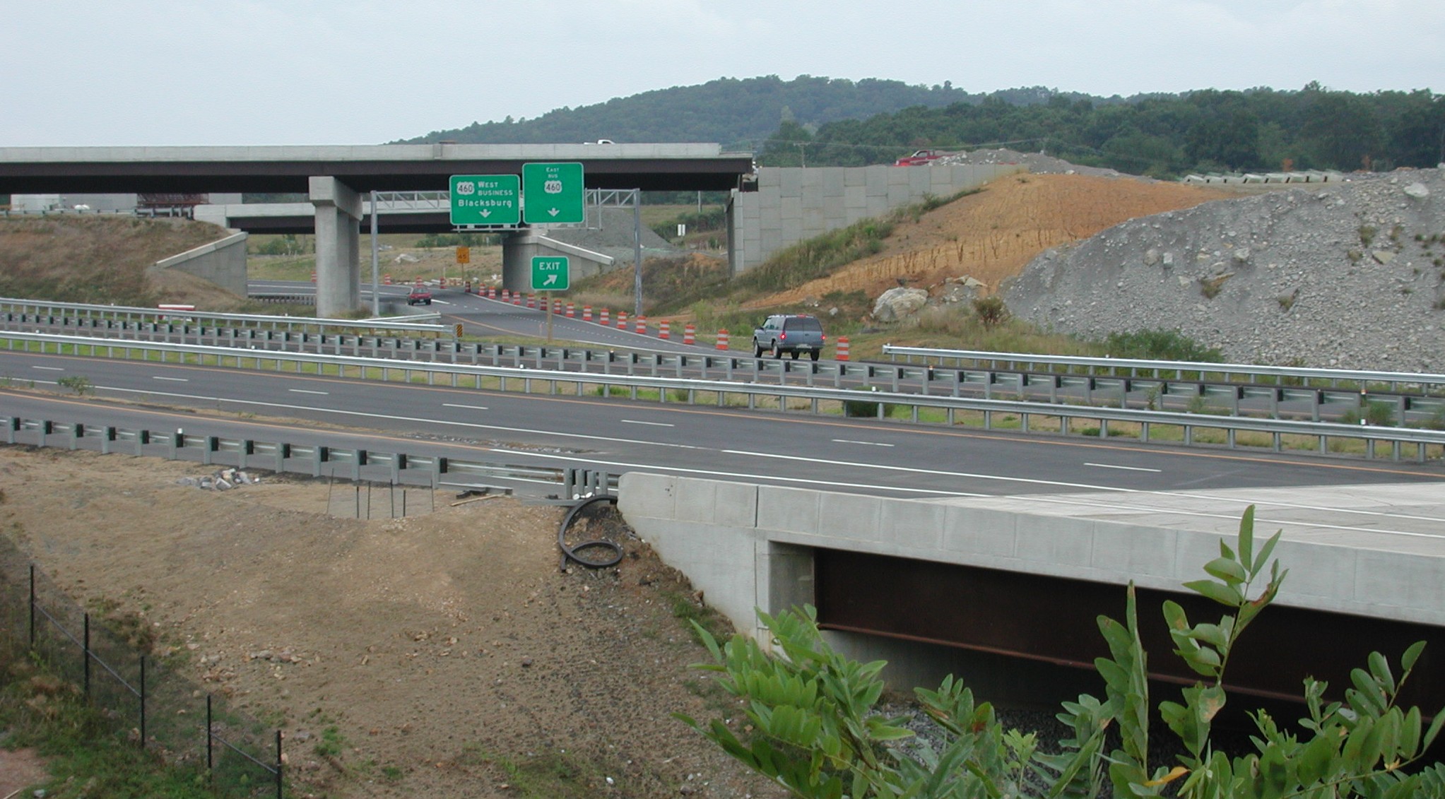
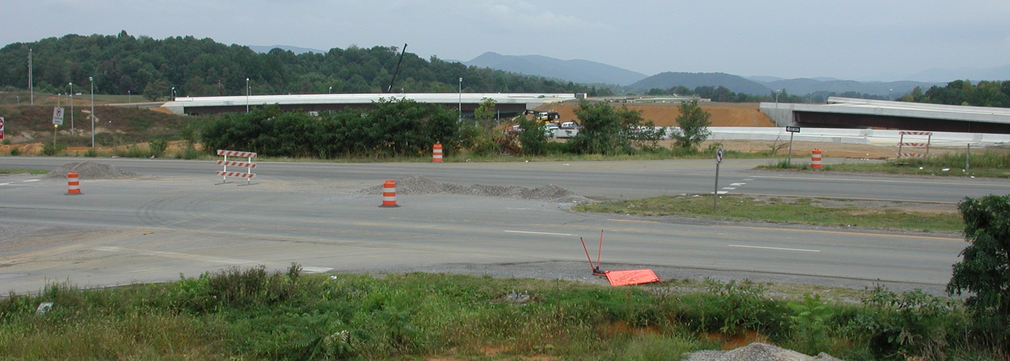
 Christiansburg -- Looking west from the Yellow Sulphur Road overpass. The lanes in the foreground are eastbound U.S. 460 Bypass; the lane with the barrels is the acceleration lane for the ramps from North Franklin Street (U.S. 460 Business). The other lanes are U.S. 460 Bypass West and the exit ramp to U.S. 460 Business West. The overpass in the far distance will carry northbound North Franklin Street over the entrance and exit ramps, then the lanes will split into an on-ramp for westbound traffic to the bypass and and a continuation of North Franklin Street. |
 Christiansburg -- Looking east from Palmer Street (original U.S. 460 before construction of the Christiansburg Bypass in the '60s). In the far distance is the Yellow Sulphur Road overpass. The lanes with traffic are the present North Franklin Street, crossing the Blacksburg Branch of Norfolk Southern (also known as "The Huckleberry"). Just beyond this crossing is the new crossing for the northbound lanes of North Franklin Street and the ramp to U.S. 460 Bypass east. North Franklin Street will continue across the bridge. The blue pickup truck is located about where the ramp from the bypass (both directions) will merge with southbound North Franklin Street. |
 Christiansburg -- Looking northeast from Palmer Street at North Franklin Street. The crossover with the barricade is the former entrance to the Christiansburg Bypass. The bridge in the foreground (partly behind the trees) is the ramp from the bypass; the bridge crosses the ramp from the bypass to U.S. 460 Business west and what will eventually be the ramp from North Franklin Street southbound to the bypass eastbound. The two bridges in the background will carry the northbound lanes of North Franklin Street across the same ramps. In the gap between the two bridges is where the on-ramp splits to reach U.S. 460 Bypass westbound (after crossing the bypass on another bridge). North Franklin Street will merge with the off-ramp from the bypass just east of the present traffic light at Farmview Road. |
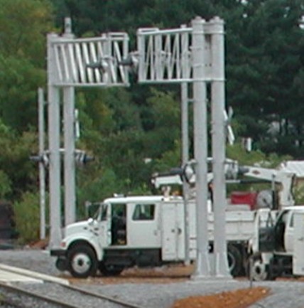
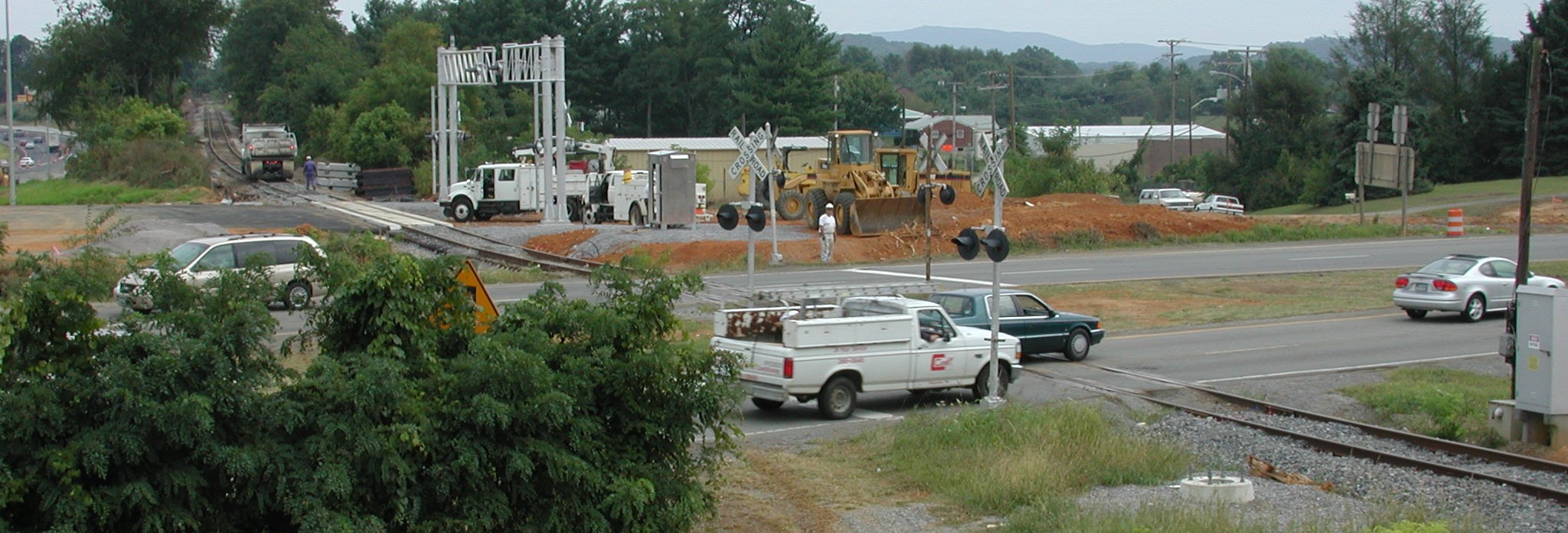 Christiansburg -- Looking northeast from Palmer Street at North Franklin Street. The new grade crossing over the Huckleberry (the Norfolk Southern "Blacksburg Branch" or "Gobbler Spur") is for the relocated northbound lanes of North Franklin Street. The present northbound lanes are located where the ramp from the U.S. 460 Bypass (which combines ramps from both westbound and eastbound traffic on the Bypass) will cross the track. The present southbound lanes of North Franklin Street will remain where they are, although with new crossing signals. There will be an additional lane crossing the track to the right of the southbound lane, carrying traffic directly to Cambria Street adjacent to the Christiansburg Recreation Center. (Here is a closeup of the crossing signal for the rail types.) |